
The advantage for boaters as they voyage north along the Pacific coast is that they have access to services and infrastructure. Stretching from the edge of the Southern Ocean to the Torres Straits, along an island larger than all of Europe, it’s a long voyage I have enjoyed doing several times. Best broken into two legs – Sydney to Brisbane and then the tropical leg north to Torres Strait – the region offers pristine cruising with few other yachts. This first story of a two-part guide covers the Sydney to Brisbane leg.
 |
 |
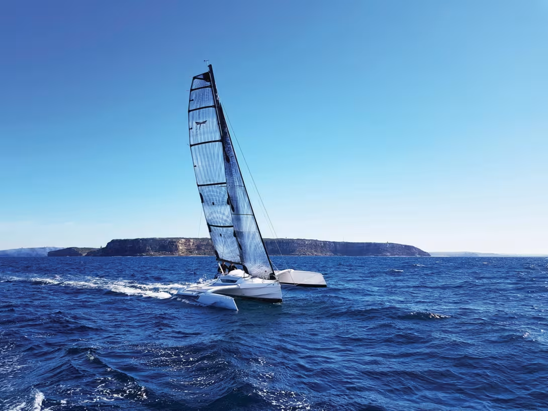
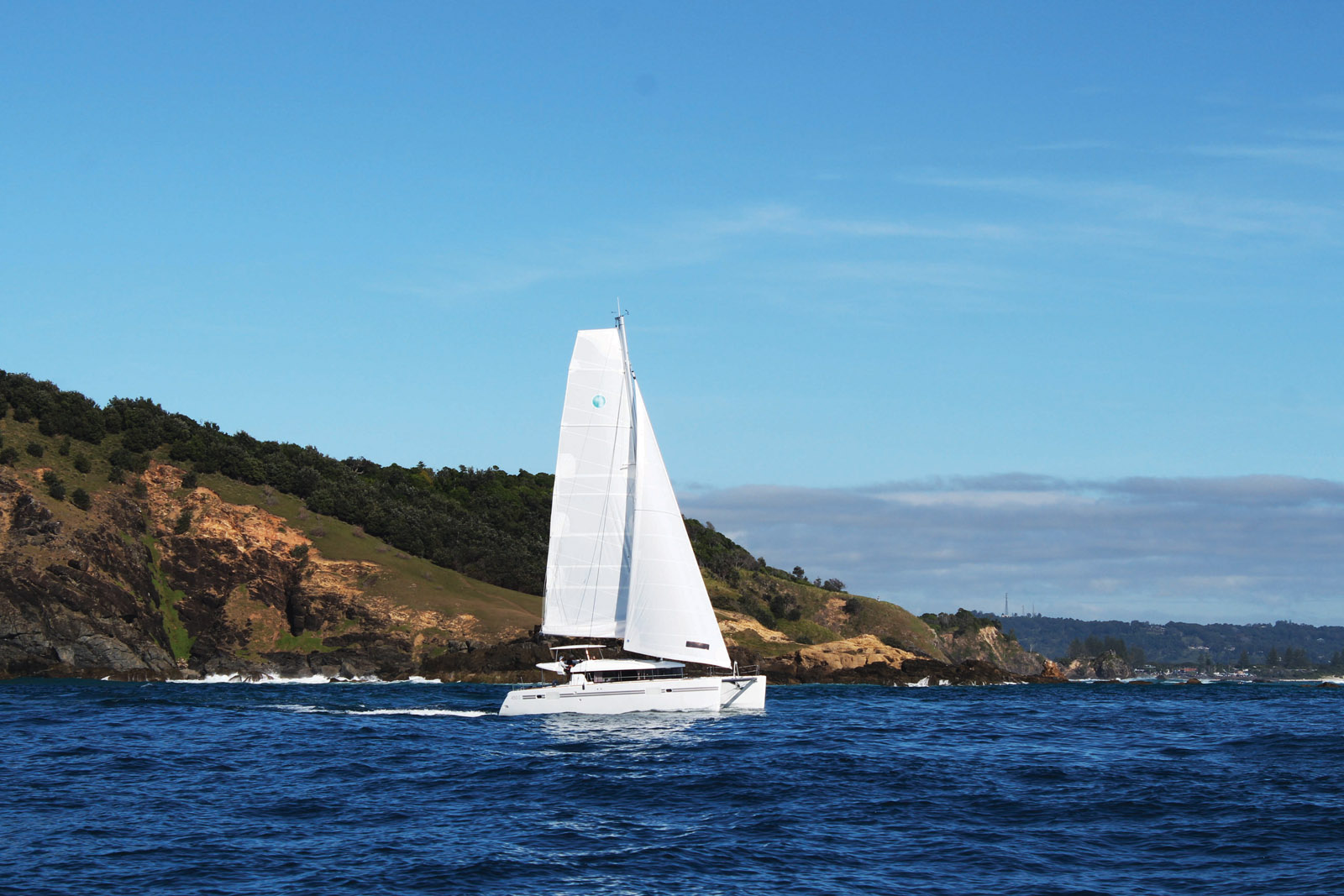
The perfect multihull playground
To be completely honest, I’ve done this cruise in both monohulls and multihulls. But it’s the latter that is undeniably better suited for comfortable coastal cruising where the more interesting shallow anchorages can be explored by multihull. Also, the prevailing southerly wind will be mostly behind you in the tropics. The region’s size means that there are two distinct weather zones – the more temperate southern half and the tropical northern part that is in the hurricane zone during the Australian summer (November through February). ‘Cyclones’ are the name Australians give to their hurricanes, and they can be fierce, such as Cyclone Debbie that destroyed much of the Whitsunday Islands yachting sector in the far north during March 2017. The Whitsundays remind me of my time cruising the Caribbean, a myriad of islands but with much quieter beaches and mostly deep anchorages. Offshore from the Whitsundays is where the Great Barrier Reef begins, creating a sheltered cruising ground all the way to the Torres Strait. We’ll be coming back to that soon…
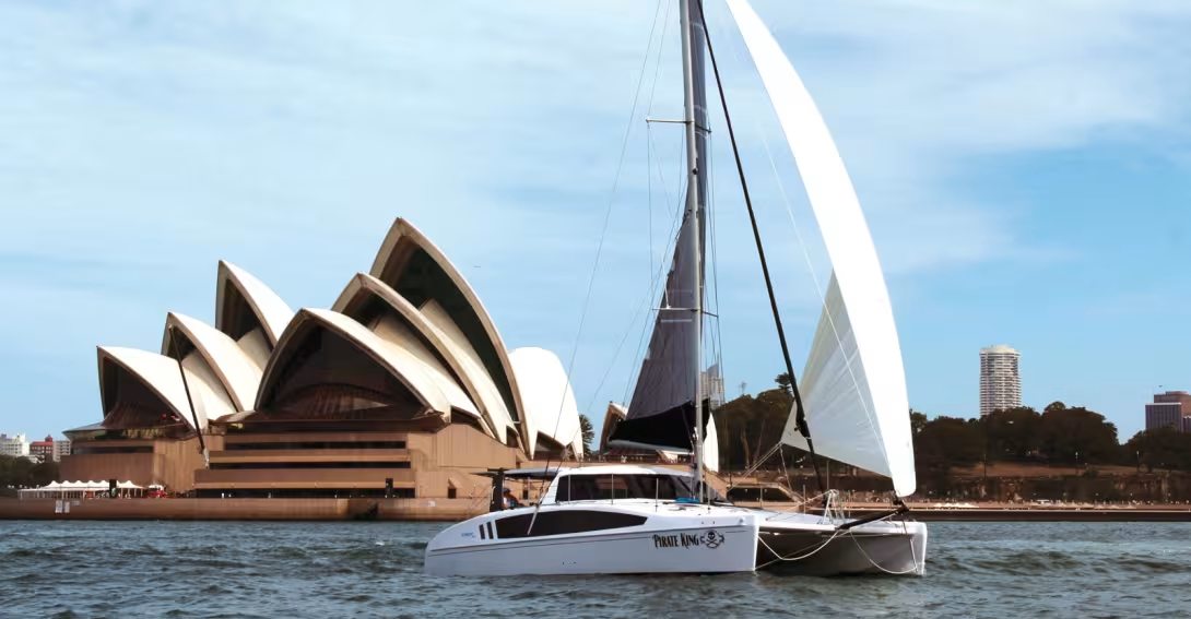
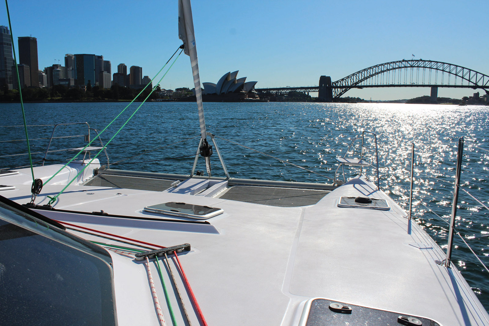
Sydney Harbour
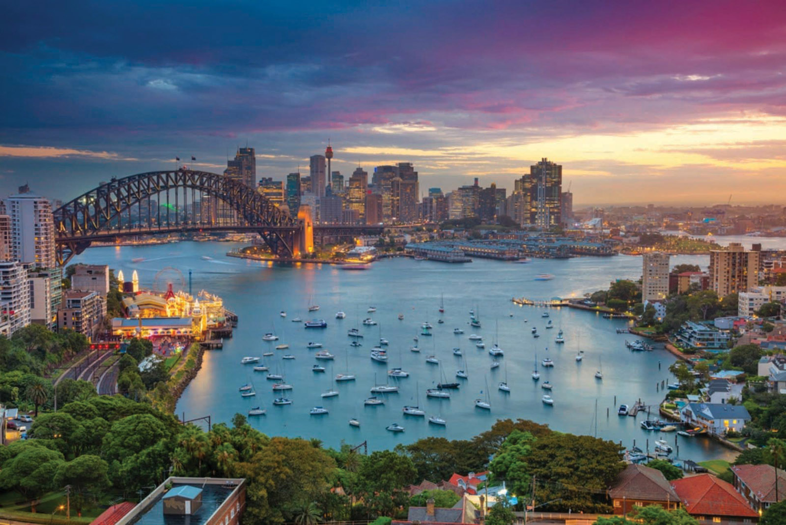
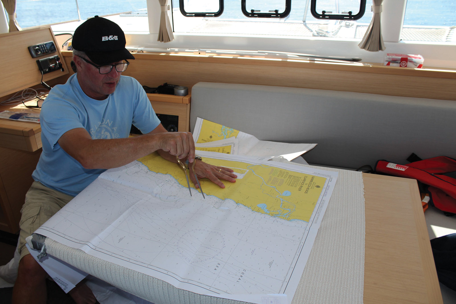
For those crossing the sometimes-bumpy Tasman Sea from New Zealand, Sydney Harbour will remind them of Auckland but on a larger scale and the harbor is one of the very best in the world for sailors. We enjoy year-round racing and cruising with fleets of multihulls and monohulls. Sadly, the world-famous Sydney-Hobart race is one I’ve only done on monohulls, as multihulls are still not allowed (unlike the Fastnet and Bermuda races). Many cruisers watch the start of this race on December 26 and then enjoy the worldfamous fireworks for New Year. The Harbour offers many sheltered bays and deep water right up to the shore. Long-term free anchorages are right in the heart of the city at Blackwattle Bay, but anchoring near beaches in the northern part of the city around Manly is also popular with blue water voyagers. Services are abundant with modern yacht slipways, chandlers and many yacht clubs that make visitors welcome. It’s here that paper charts and cartridges for electronic ones for the voyage north can be bought at chandlers or the Boat Books store. For those wishing to explore in detail on their way north, the pilot books from local sailor Alan Lucas are essential – Cruising the Coral Coast is indispensable for navigating the myriad channels behind the Great Barrier Reef.
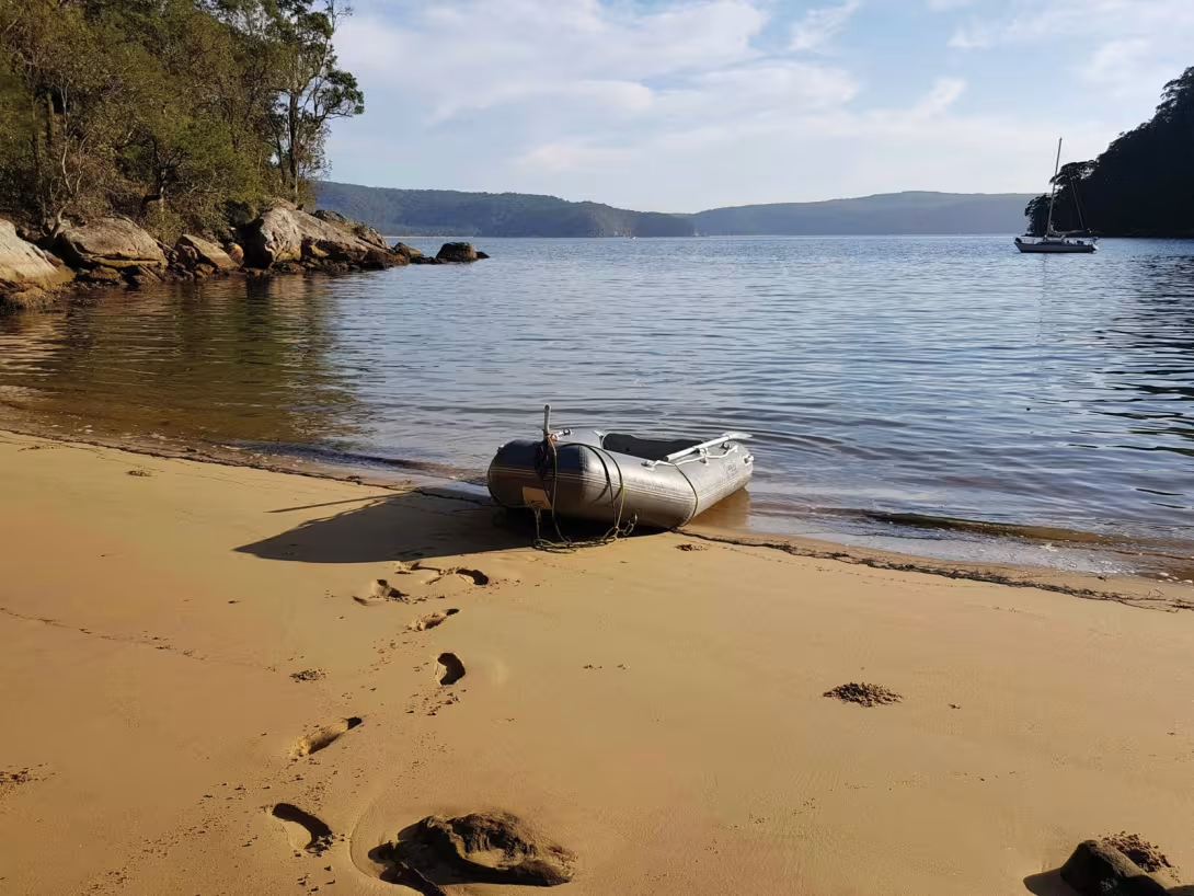
Sailing north More secluded anchorages are only a day-sail north from Sydney at Broken Bay, my favorite local cruising region, with many bays and river estuaries to explore; ideal for shallow drafted multihulls and many free moorings abound. This could be the first stop on your voyage north, a quiet place to contemplate the leg that takes you from the southern summer to the tropical northern winter. Your planning will show that Australia’s east coast is relatively benign: a short tidal range, stable weather and lots of sunshine. All good, but it also has hazards such as being a lee shore when strong easterlies blow off the Pacific and many of the anchorages are guarded by sandbars. Australian surfers are often world champions for a good reason, because we have big surf that barrels into entrances of bays, so always keep an eye to weather when inshore. Currents are another challenge as the East Australian Current (EAC) flows south along the entire coast and I have experienced it at speeds of four knots off Cape Byron, the most easterly point of Australia. When crewed racing, our tactics to avoid this current is rock-hopping, a dangerous occupation only for experienced race crews. So, cruisers may choose to minimize the current by going inshore then offshore when finding it too adverse. Sharing your passage plan with emergency services is also a good idea. The Marine Rescue organization is situated along this coast up to Cooktown and can be notified via VHF or SSB. Other communications include mobile phone coverage on most of this leg and SSB forecasts are issued regularly.
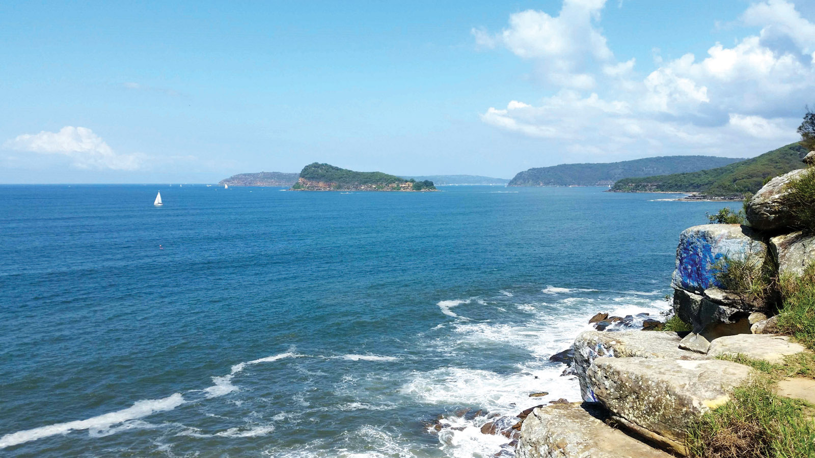
Broken Bay is the first anchorage north of Sydney – it is, however, pretty wild!
Day sailing
It is possible to day sail mostly when going north but experienced cruisers may choose to overnight at sea in parts. Prepare a passage plan that shows the main ports and what is offered. From Sydney the main town north is Newcastle. It is a major port for coal ships and has an awkward entrance when an easterly is blowing. Anchoring is allowed inside its busy harbor but at the west end is a modern yacht club with fuel services. There’s an excellent fishmonger here that sells many of the tasty and exotic fish varieties. However, a popular side-trip is just south of here, where a narrow tidal entrance and swing bridge opens into Australia’s largest saltwater lake where many multihulls abound: Lake Macquarie. Here, I enjoy multihull cruising regattas and free anchorages where blue water cruising families may choose to spend an entire season as schools, shops and services are nearby.
To the north east of Newcastle is Stockton Beach, stretching 15 mi (25 km) in length, and then another of my favorite bays, the vast waterway of Port Stephens. This region was deemed so geographically significant that it was proposed as the site for the capital of Australia. A huge bay with low lying scrub and river estuaries but a major reason it didn’t become the capital was due to its shallows and rocky entrance. Guarded by tall hills that reminded me of the fabled Pillars of Hercules, guarding the Mediterranean, Port Stephens has a handful of modern marinas and is surrounded by national parks. Dropping my kayak in and paddling up these rivers is a favorite pastime of mine while here. Beyond Port Stephens is group of islands, with big surf beaches shoreside so keep well off, and the most northerly one is named Broughton Island. It offers a safe and secluded anchorage from the prevailing southerly winds and an often-calm southern anchorage; however, it’s a rocky area so refer to the Alan Lucas pilot book. The picturesque island is a nature reserve and a marine shark reserve. Beyond here anchorages become sparser for a time, so perhaps a night sail past the looming Sugarloaf Lighthouse at Seal Rocks and beyond. Landward is a series of beautiful national parks with rivers where my family and I enjoy exploring by foot and kayak. Small fishing harbors are along here but most have sandbar entrances except for Crowdy Head Boat Harbour in Crowdy Bay National Park. Kangaroos and much other wildlife are found here in the forests, including koalas and other marsupials. At the northern end of the bay is the quaint town of Laurieton which has a sandbar entrance but navigable in good weather to allow you to use a visitors’ berth at the small yacht club.
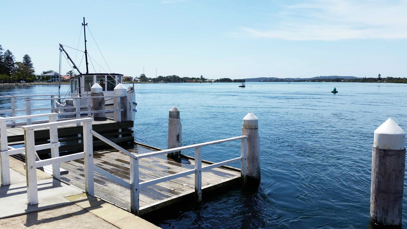
Lake Macquarie is the largest lagoon in Australia – up to 12 miles (20 km) long. This waterway is ideal for multihulls, offering perfect protection in all conditions.
Rounding headlands steeped in history…
Continuing your course, you’ll find the coast becomes rockier along here with high cliffs and headlands. Many of these were named by Englishman Captain James Cook when he charted most of this coast in 1770. Breton Captain Jean-François de La Pérouse came here after Cook in 1788 with his ships La Boussole and L’Astrolabe before heading east to the Pacific and disappearing. In Sydney, La Pérouse is remembered by the suburb bearing his name surrounding Botany Bay, where the French made landfall. It was here that a memorial was erected in 1825, and then a museum in 1988. And here, you can discover about the terrible loss of the entire fleet, which went unexplained for more than 40 years – the first clues weren’t discovered until 1826 on the reefs off Vanikoro in the Solomon Islands, with further artefacts recovered by divers much more recently.
Untouched, wild nature
The prevailing southerly wind is usually a great help against the adverse current but at these headlands it pays to go close inshore or several miles offshore to minimize its effect. Continuing north, the shoreline becomes low lying and islands appear as you approach the major yachting center of Coffs Harbour. A deep-water entrance in nearly all weathers, you can rest at the marina where fuel is available 24/7 and the convivial yacht club is a friendly place with good food. A taxi into town can take you to several large supermarkets and other stores. There is also a regional airport here and the town is on the main highway. Beyond here more islands appear - the Solitary Islands - and are low lying so care is needed. Shoreward, endless miles of beaches stretch to the horizon with a backdrop of tree-clad mountains, a true wilderness with few other boats. For about 100 mi (150 km) there are no roads to the coast, except for 4X4s, so the natural beauty of this region can be enjoyed in this Northern Rivers Region. At the town of Yamba the Clarence River can be entered in calm conditions to visit the small yacht club and enjoy local restaurants but road bridges run across it further inland. A day’s sail beyond takes you to the Ballina River, which is also used by sailors but beware of the sandbar entrance. Beyond is the major obstacle of this coast, Australia’s most easterly point at Cape Byron, where the EAC current often runs fastest. Once passed yet more long beaches, open to the swell stretch out, creating a paradise for surfers but not multihulls bound for the Tropic of Capricorn, so beware as you approach the major conurbation on this leg: the Gold Coast. Obstacles here include offshore shark nets that have trapped my keel before. Keep a good lookout!
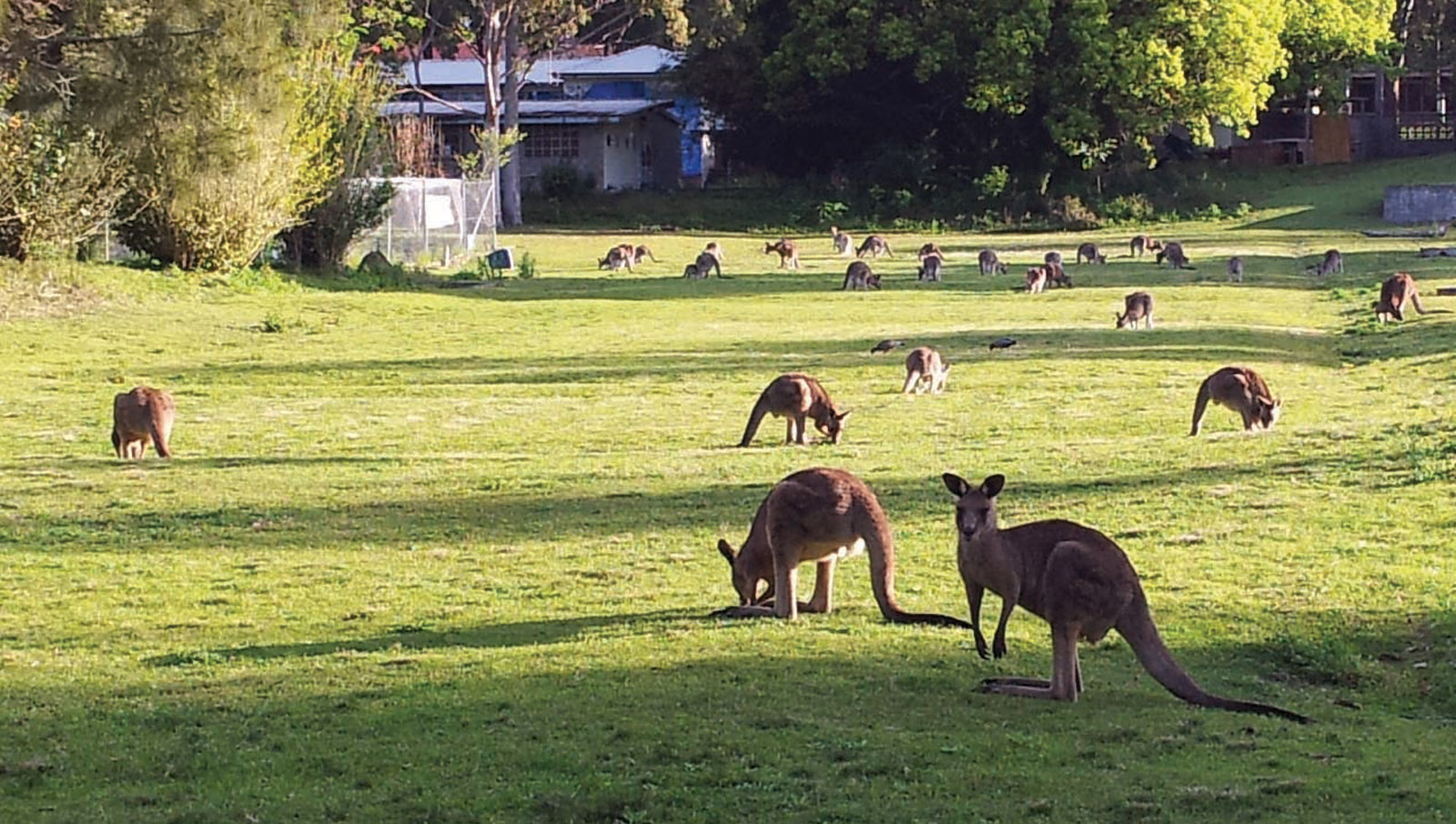
Along the banks? Kangaroos, of course!
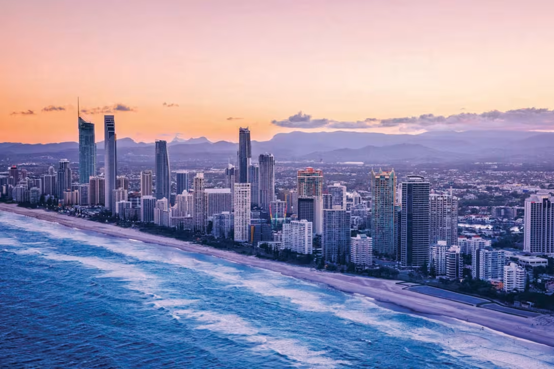
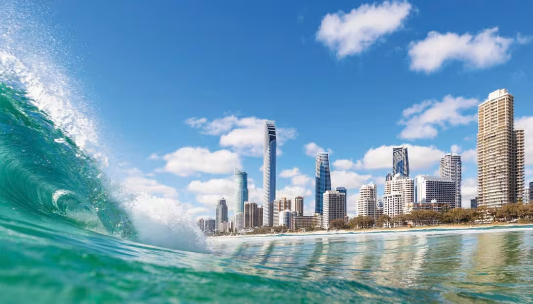
Gold Coast
Voyagers approaching the Gold Coast have to navigate a narrow sandbar entrance called the Gold Coast Seaway, as seen on Navionics charts, before enjoying this sailing paradise. So, in a strong easterly swell this should not be attempted, instead head north 60 nm to the wide entrance to Moreton Bay and the city of Brisbane. From there the inside channel can be taken back south to the Gold Coast (6 ft / 2.0m draft and 72 ft / 22m height restrictions). Once inside the Gold Coast waterway - known as the Broadwater on your chart - to starboard is a chain of islands offering sheltered anchorages but some of these are shallow, so ideal for multihulls. The further north you go, the more peaceful it becomes. Tidal ranges are small at only about three feet (one meter). Once anchored, at its southern end beside South Stradbroke Island, it’s only a short dinghy ride to the skyscrapers and shops. These can be accessed by arriving on the nearby town side beach or the small floating dock at suburb of Southport, after weaving through the anchored yachts that have chosen to spend the season here. The major shopping plaza here is called Australia Fair, which hosts an Aldi, Coles and Woolworth along with doctors and dentists. Australia has a strange retail system of selling alcohol in separate stores (so not supermarkets), but they are worth seeking out for the world-famous Shiraz grape varieties and many regions that boast excellent vintages. The nearest major region, a few hundred miles south is the Hunter Valley which has white and red varieties grown in modern vineyards. Apart from the beverages, facilities are plentiful in the Gold Coast. For example, the Commonwealth Games were held on the Gold Coast in 2018, so many facilities such as the lovely swimming pool at Southport were upgraded. For crew changeovers, the domestic Gold Coast airport is a 40-minutet taxi ride away, while the international airport at Brisbane is about a 90-minute drive north.
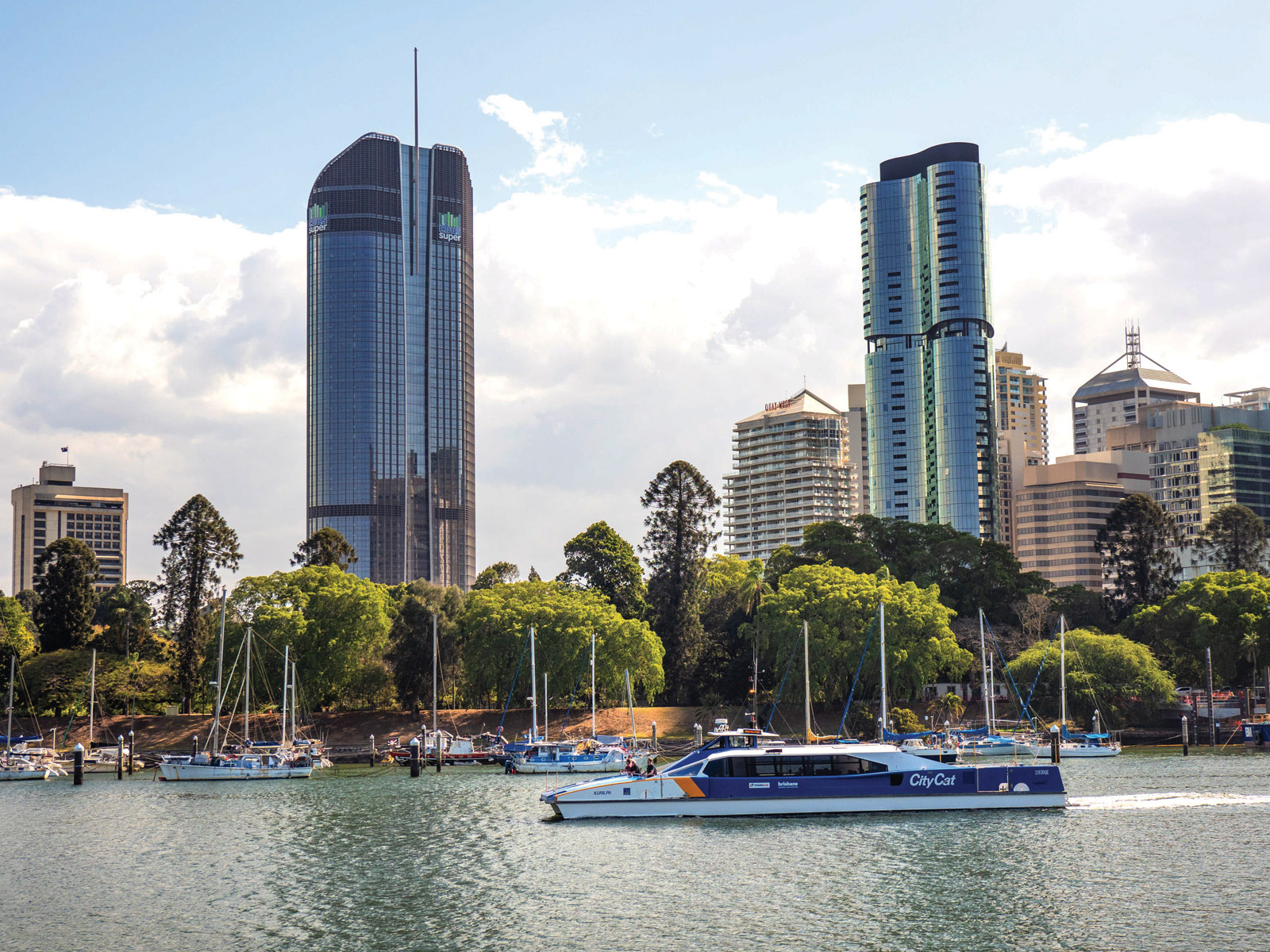
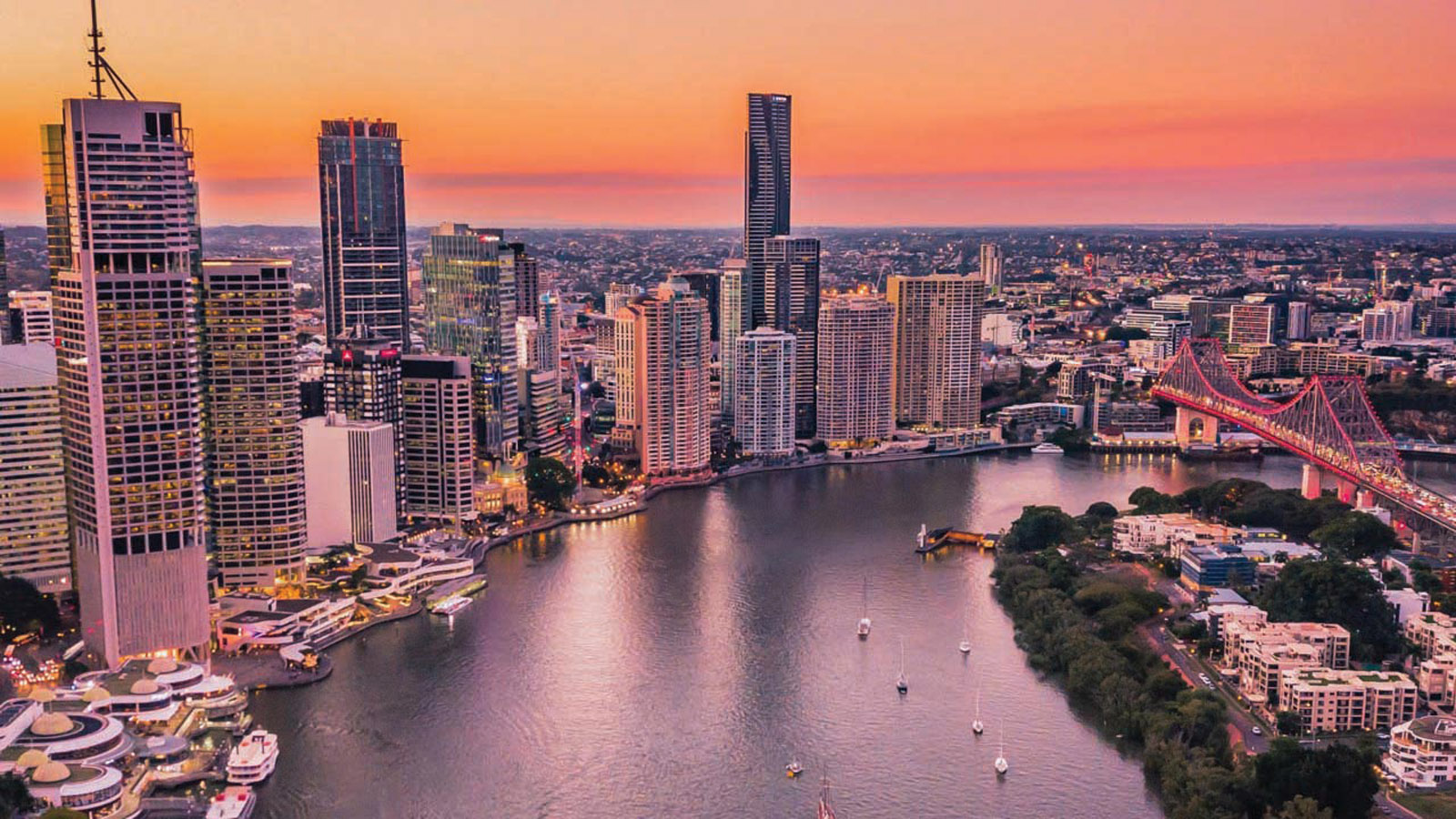
Brisbane is the third largest city in Australia. It sits on the Brisbane River, which flows into the Pacific Ocean.
Brisbane, gateway to the tropics
The final destination of this first leg is the city of Brisbane, capital of the state of Queensland and is the last major place for all kinds of yacht services for 2,400 miles (the city of Darwin in the Northern Territory). It has many marinas along its wide river that accesses the city, and just outside on Moreton Bay is where yacht clubs such as the Royal Queensland Yacht Squadron offer specialist multihull haul-out facilities. This is the gateway to tropical Australia or indeed the North Pacific and the French colony of New Caledonia, one of my favorite cruising destinations only a week’s sail from Brisbane. Brisbane is generally outside the cyclone zone so an ideal place for a season or for a shorter stay to plan the second leg to the Torres Strait and perhaps your entry into the Indian Ocean.
Ports of Refuge
Broken Bay
Newcastle
Port Stephens
Port Macquarie
Coffs Harbour
Yamba
Southport
Charts and information
AUS 424 Port Jackson to Fraser Island
AUS 207 Approaches to Newcastle
AUS 208 Newcastle Harbour
AUS 209 Port Stephens
AUS 809 Port Jackson to Port Stephens
AUS 810 Port Stephens to Crowdy Heads
AUS 219 Coffs Harbour
AUS 811 Crowdy Heads to Nambucca Heads
AUS 812 Smoky Cape to Clarence River
AUS 813 Clarence River to Danger Point
AUS 814 Point Danger to Cape Morton
AUS 365 Cape Moreton to Sandy Cape
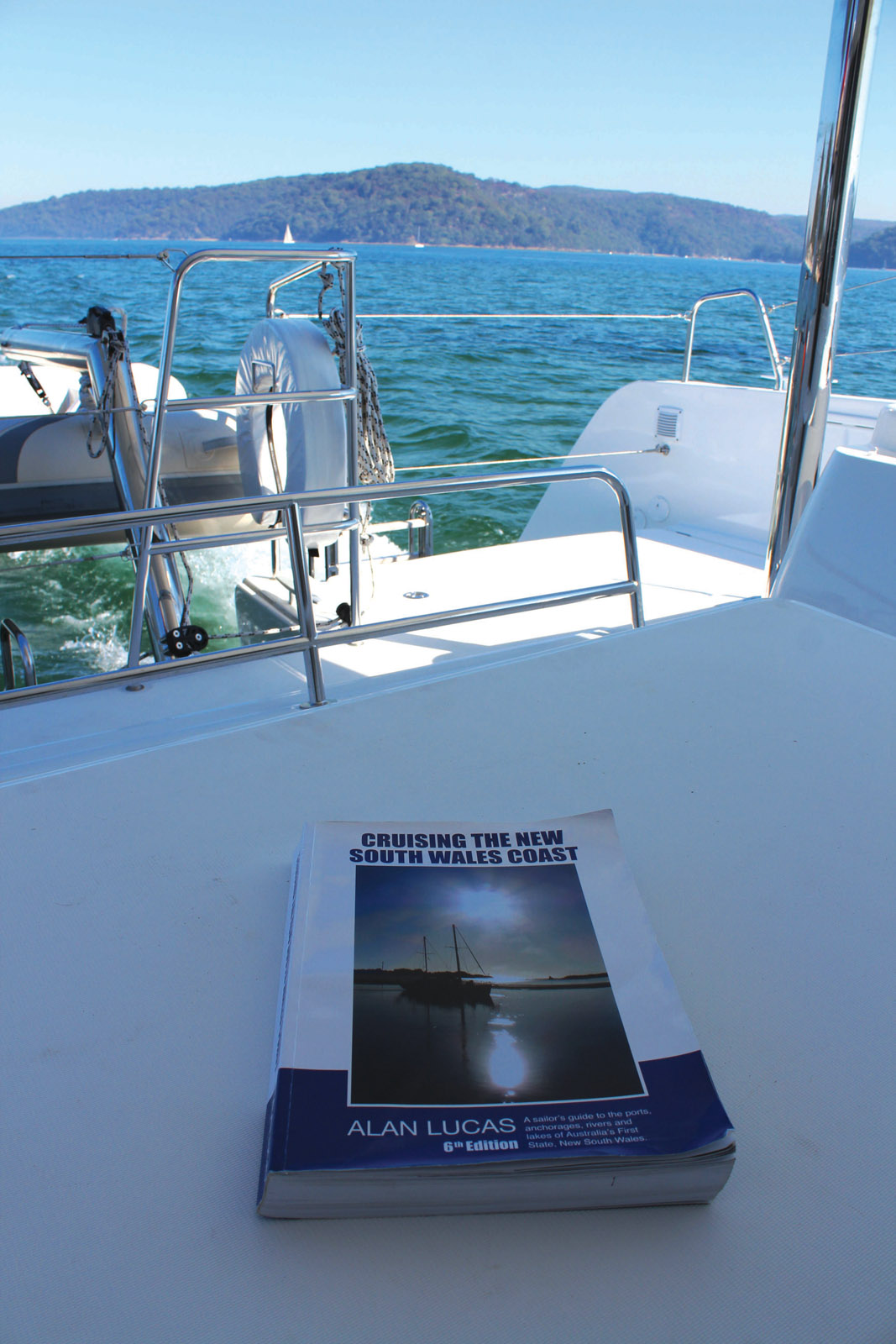
Cruising the NSW Coast by Alan Lucas (invaluable pilot book)
