

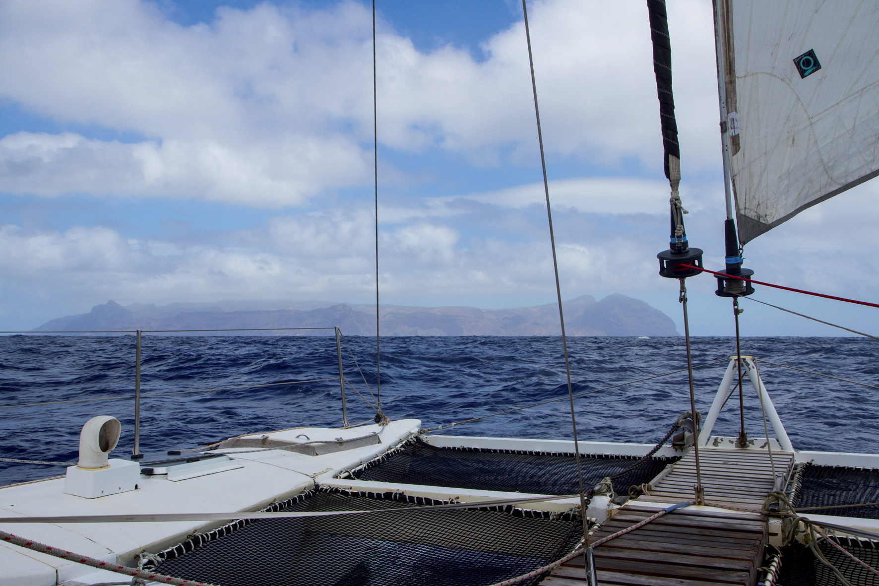
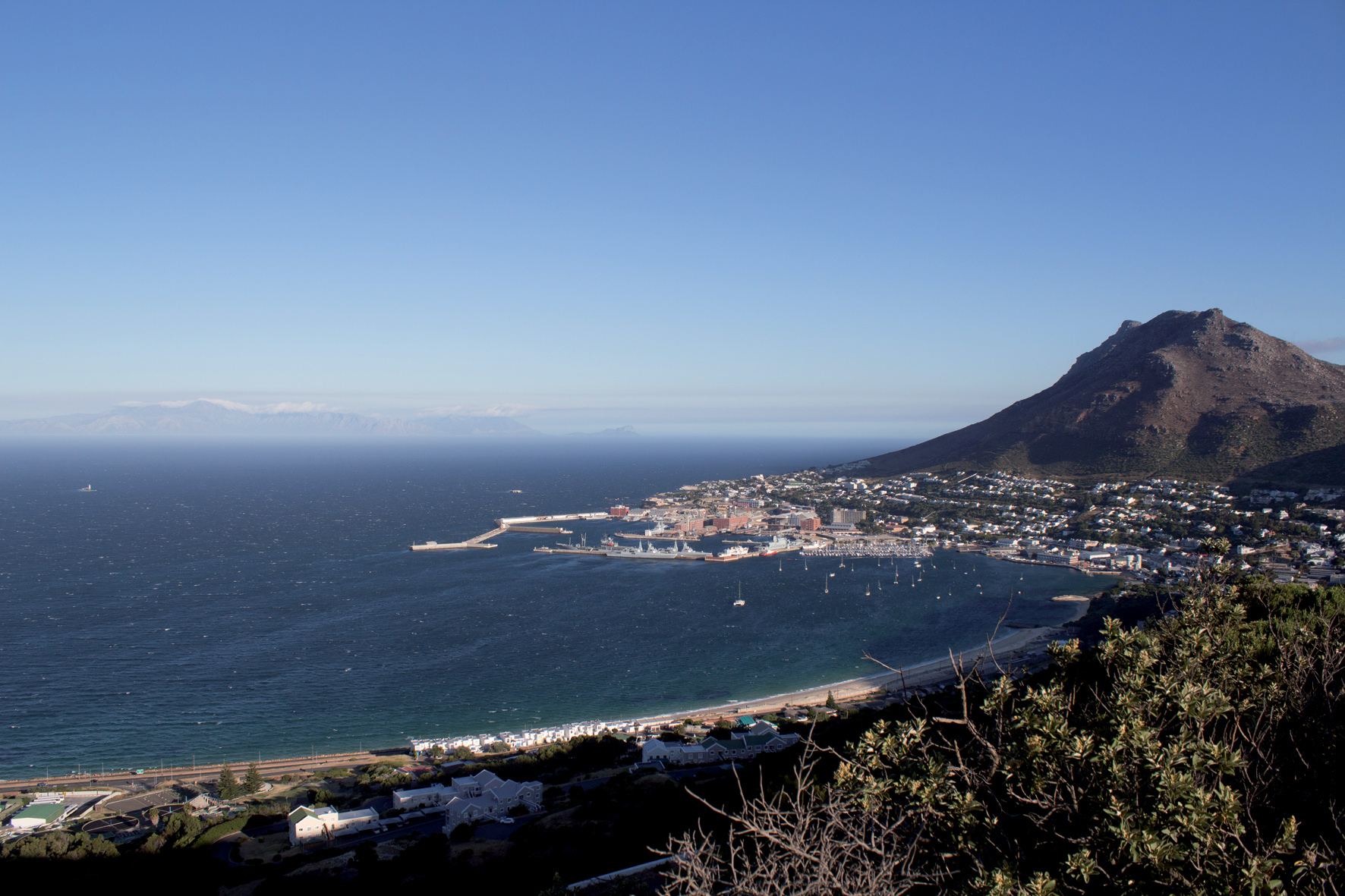
We set off from Simon’s Town and rounded the Cape of Good Hope in perfect conditions. The breeze was light and fresh, and while the cold north-flowing Benguela Current made the air chilly, the late-summer sun shone brightly. Ceilydh, our 40’ Woods catamaran was lively in the following seas; and the three of us; my husband Evan, teen daughter Maia and I, stood out on deck and watched as the Cape faded into the mist.
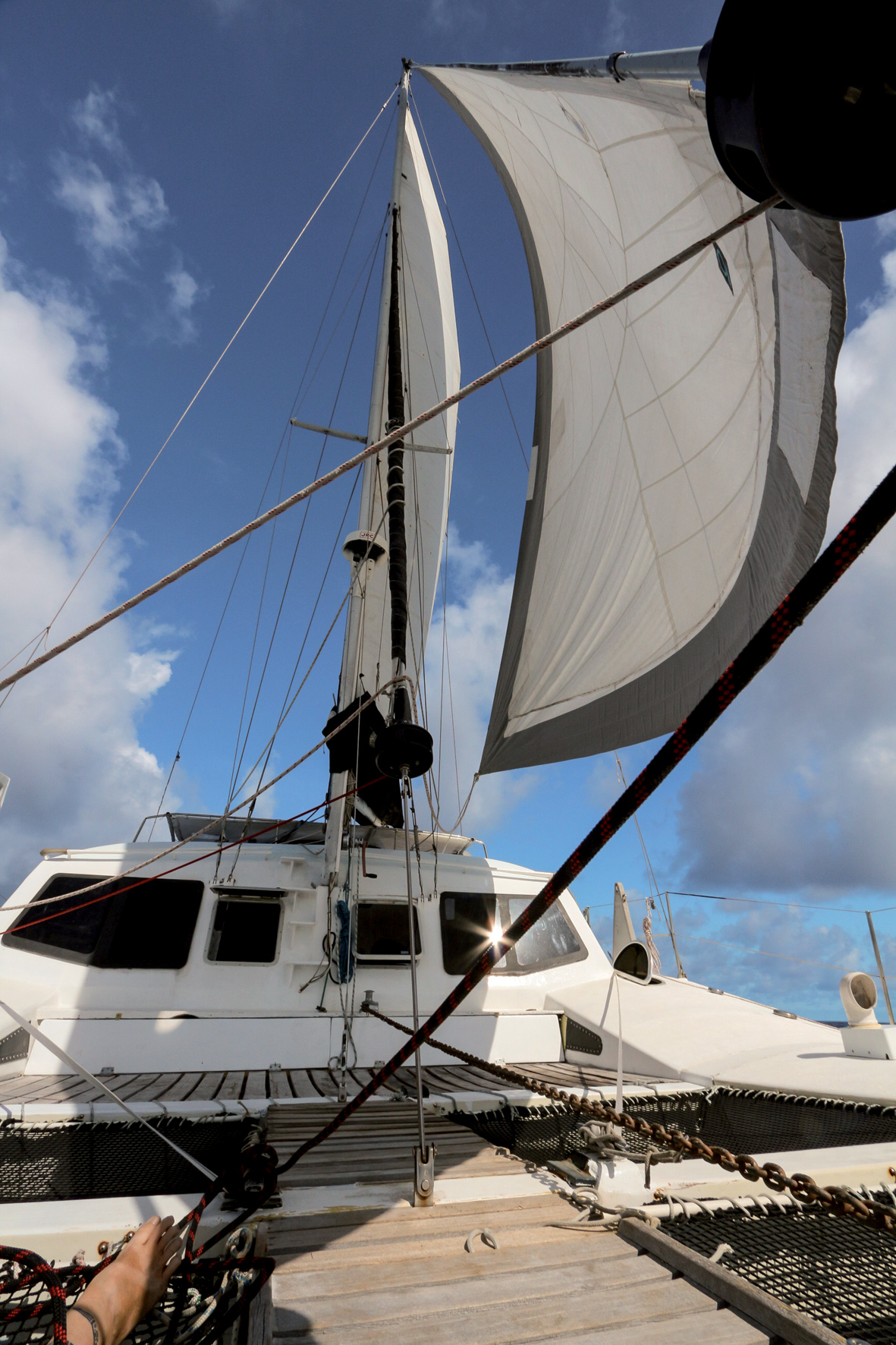
Behind us were the boat chores that punctuated our four-month South African sojourn. Interspersed between having our injection pump rebuilt and giving the engine a full check over we set off on a couple of different mini safaris. Sail re-stitching and repair paired nicely with a wine touring. Getting our dinghy re-tubed—which proved cheaper than having it patched—contrasted well with exploring Cape Town. We also made good use of the great deals found at Southern Ropes and replaced our spectra lifelines and spinnaker sheets, spending the savings on just a few more bottles of that excellent South African wine.
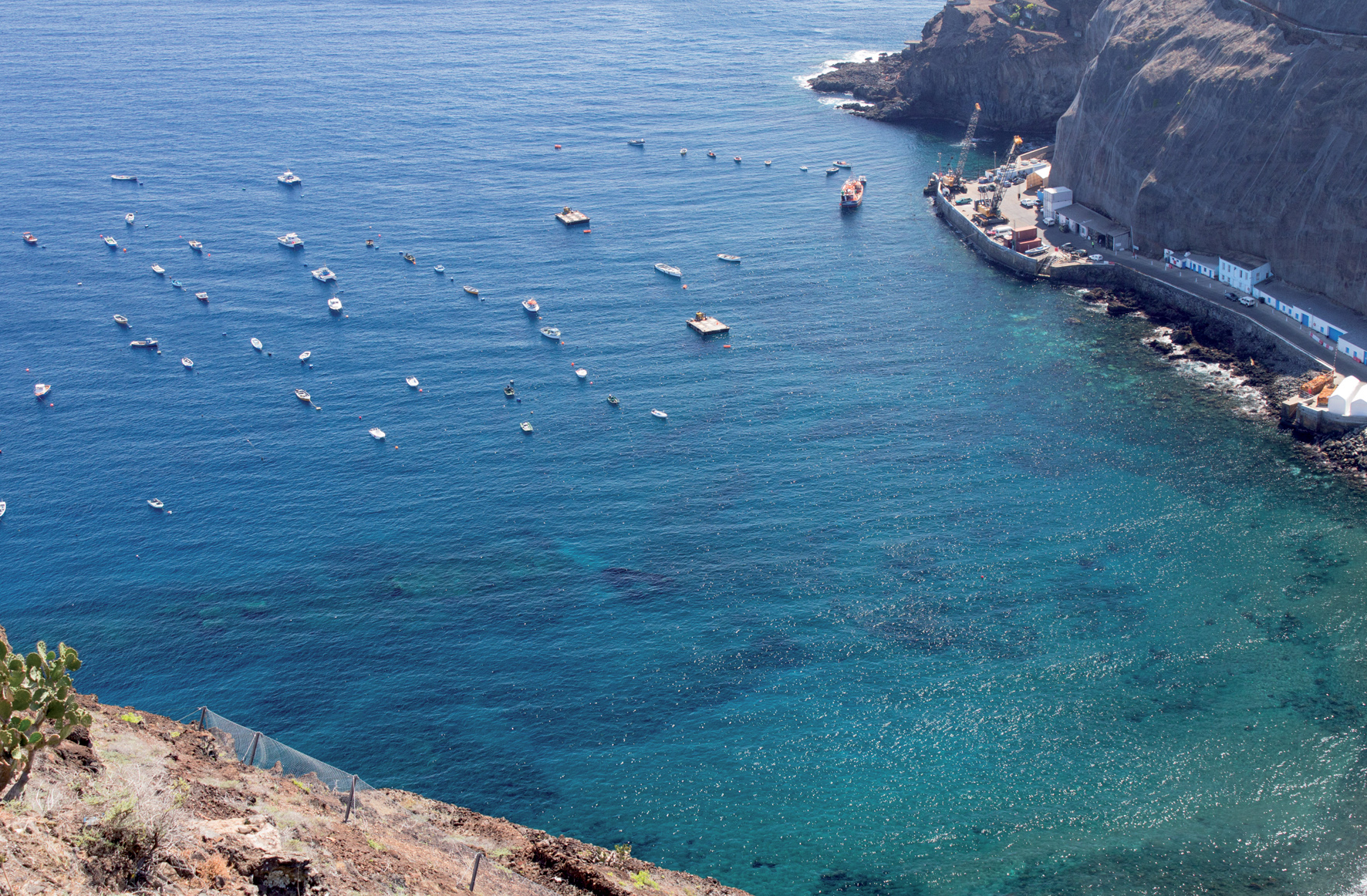
Ahead of us were 4400 yet-to-be-discovered miles, and with the boat in good condition and the season ticking down it was time to keep moving. Our first stop, Luderitz, Namibia is known as an up and coming kite surfing destination because of its strong winds. And on the last day of our voyage from South Africa, when we were making six knots running with bare poles ahead of an approaching front, we started to wonder if our choice to come here was misguided. But after our screeching-tires arrival the wind dropped and town’s charms began to appear.
In a certain light the rustic town is lovely. In other light—the kind of harsh illumination we often judge places in, it’s simply run down. There are a couple of grocery stores, an excellent fish market and a few good restaurants. There’s also the kind of optimistic architecture that makes you think that someone thought this little city was going to be a big deal. German mansions—most in need of a paint job—sit above the harbor. Imposing public buildings, including a grand train station, ornate banks and great halls, make each side street worthy of exploring.
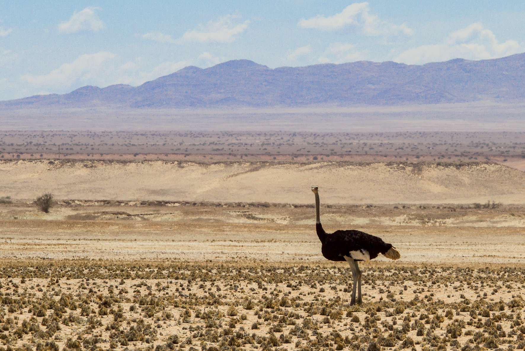
But it was really the Namib Desert that drew us here. This vast desert stretches inland from the Atlantic and shifts through a muted rainbow of shades. It is home to fantastical beasts and an intriguing ghost town called Kolmonskop. Built on the wealth of diamond mining, the ghost town is found in a rocky patch of the Namib desert—smack in the middle of what’s known as the ‘restricted zone’, the area dedicated to diamond mining which can’t be entered without a permit.
Once a thriving mining town—with a street of millionaires and a hall that hosted opera singers, it hit a bust cycle when bigger and better diamonds were found further north. At its peak 300 German adults, 40 children and 800 native Owambo contract workers lived in Kolmanskop. The first x-ray machine (to track ingested stolen diamonds) in Southern Africa was found here—as well as a bowling alley, ballroom and school. These days it’s part living museum, part ghost town. Some of it has been restored, but most of it is being reclaimed by the desert as the dunes shift in the winds.
![]()
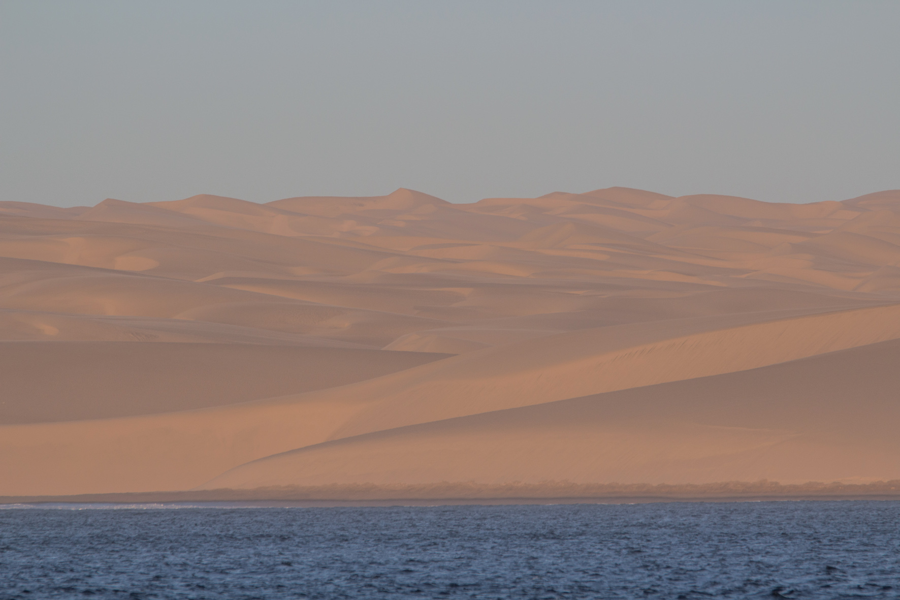
The same winds that shift the dunes soon let us know it was time to head back out to sea. Fronts roll through with increasing regularity as the seasons change and sailors ignore a weather window at their peril. Sailing past foothills and mountains of sand, the water temperature dropped as low as 11°C. We pulled out our fleeces and bundled up for night watch, grateful for the excellent visibility through our big cabin windows, which meant that other than regular 360° sweeps of the horizon we spent watches inside with the Charlie the cat and a mug of tea.
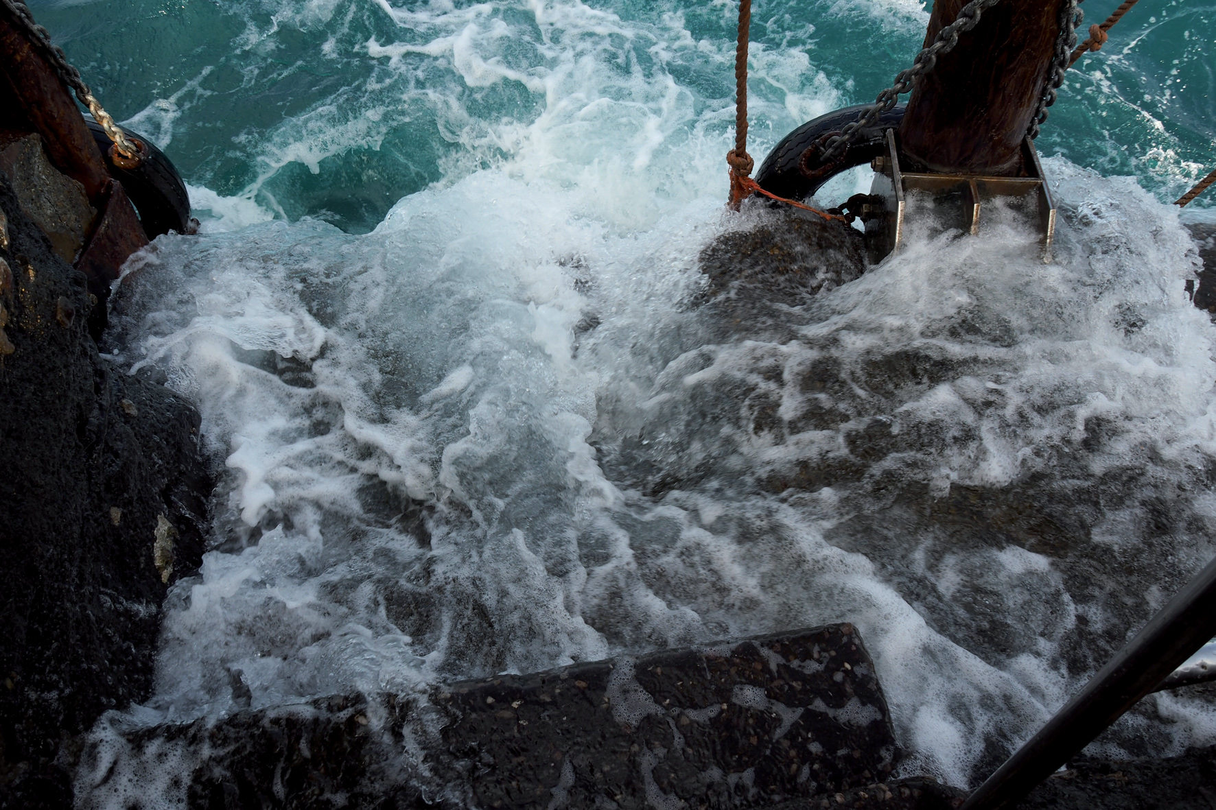
The bones of more than a thousand ships are said to be scattered on the shores of this coast. Before the days of GPS, when the frequent fogs rolled in, the navigators aboard ships were easily disoriented. I could see why. The roar of the surf seemed to come from everywhere as it bounced off the 300 meter high dunes.
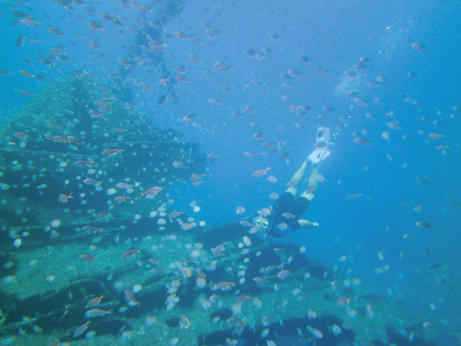
On our second afternoon we tucked into Hottentot Bay, hopping to let a heavy swell roll through (though it rolled right into the anchorage). Even if the surf on shore wasn’t as high as houses I’m not sure we’d have ventured onto the beach. We spotted the carcass of an old ship, which would have been interesting to explore, and kilometers of sand, but as gorgeous as it looked, it seemed forbidding.
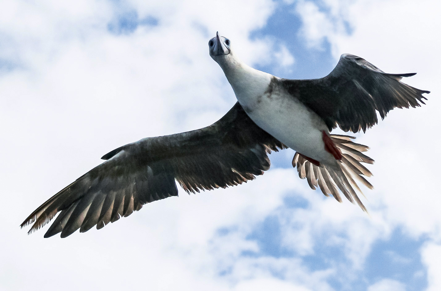
With the shore too dangerous, we were left to watch the seals play around our boat. The cold nutrient rich waters in this area provide habitat to an abundant eco-system. One morning we were surprised by a pod of monster-sized dolphins that sped toward us like a team of commandos. Later—a huge seagull caught my eye as it floated near the boat. I called Evan and Maia out to see it and we all watched as it spread its giant wings and soared off as an albatross.
Return of the heat!
It's always a delight when a passage that promises easy sailing lives up to expectation. After the challenge of the Indian Ocean, the mellow South Atlantic felt like a reward. We averaged over 6 knots in 10-12 knots from astern and soon the water warmed; increasing from 12°C to18°C and turning a brilliant tropical blue. But with the cold green water went the sea birds; there were no more albatross, kites or terns. We didn't look out to see seals floating head down with their flippers warming in the sun. Visits by dolphins also dropped off, making the ocean seem vast, empty and endless.
Even the night was transformed. The Milky Way was bright enough to illuminate our decks and the seas lit themselves with bioluminescence. Each day seemed like the one before—if it weren't for the charts showing our progress toward a tiny mid-ocean speck, it would be easy to imagine that we weren’t actually going anywhere.
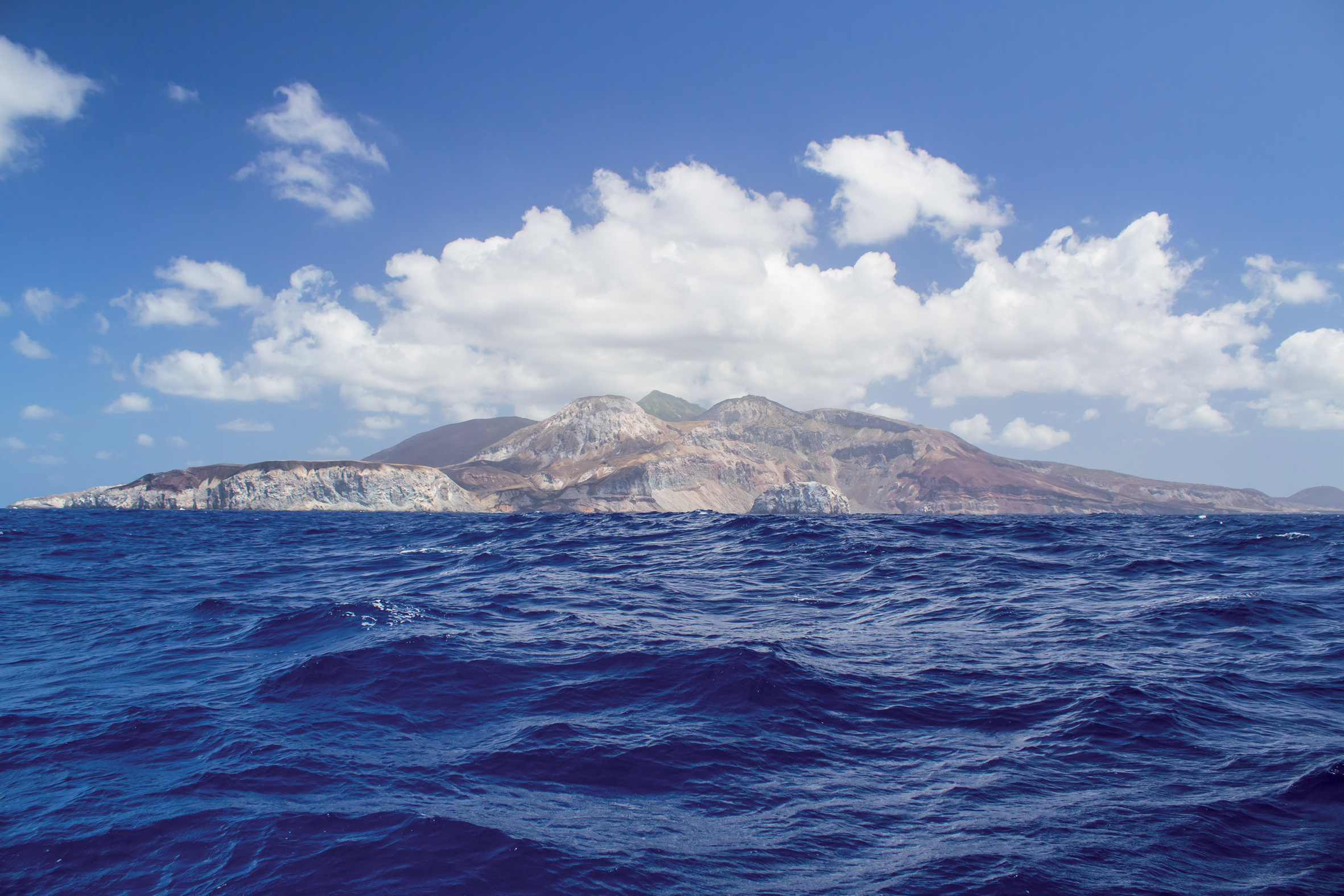
After nine days I caught sight of the volcanic bulk of Saint Helena. Charles Darwin once wrote, “Saint Helena rises abruptly like a huge black castle from the ocean.” Closer to the coast, when we spotted stone fortifications built into the cliff faces, the impression we were approaching a mid-ocean fortress was reinforced.
For over 500 years, the only way to reach the British Overseas Territory of Saint Helena has been by the sea. Before the Suez Canal opened, some one thousand ships a year called. Traveling here, we followed in the wakes of Captains Cook, Dampier and Bligh as well as Napoleon, Darwin, Edmond Halley and Joshua Slocum.
In the more recent past, the island’s visitors have come by the RMS St Helena, cruise ships and yachts. But now, thanks to the new airport, the island will soon be accessible to visitors who don’t have weeks, or months, to dedicate to a sea voyage. For the first time, yachts will be able to pick up or drop off crew as well as bring in needed spare parts.
We took our mooring, in amongst yachts from seven different countries, and then made a visit to customs, the Port Captain and immigration. From there we were free to explore. Through the centuries Jamestown has been a popular (if brief) provisioning stop for sailors. Fruit trees grew in the valleys and goats roamed the hills—offering fresh supplies to passing ships. But the diminishment in shipping meant the market for fresh food dwindled.
Eventually, entire generations of farmers and workers left—seeking opportunity elsewhere. Entering the shops, we discovered that the self-sufficiency that once marked island life had been replaced with a full range of products that come from South Africa and the EU. But the airport’s construction—which brought back young, highly-skilled Saints (as the locals are called) and expats—is transforming the island. Local produce—which was in chronic short supply—is being grown by a new generation of farmers and is now sold at the refurbished market.
We expected our visit to last as long as it took to provision, but soon fell in love with the little island. 80-year-old tour-guide and self-trained historian Robert Peters took us to see the most popular tourist stops. We visited Napoleon’s residence, Longwood House and his tomb; checked out the imposing High Knoll Fort; viewed the exterior of Plantation House; and saw the island’s high point, Diana’s Peak. Later—as we explored on our own, Lemon Valley became a favorite spot. Accessible by hiking trail or a one mile dinghy ride from the moorings, it’s an inviting spot for picnicking, snorkeling, or hiking up to the old fortifications.
En route for Ascension
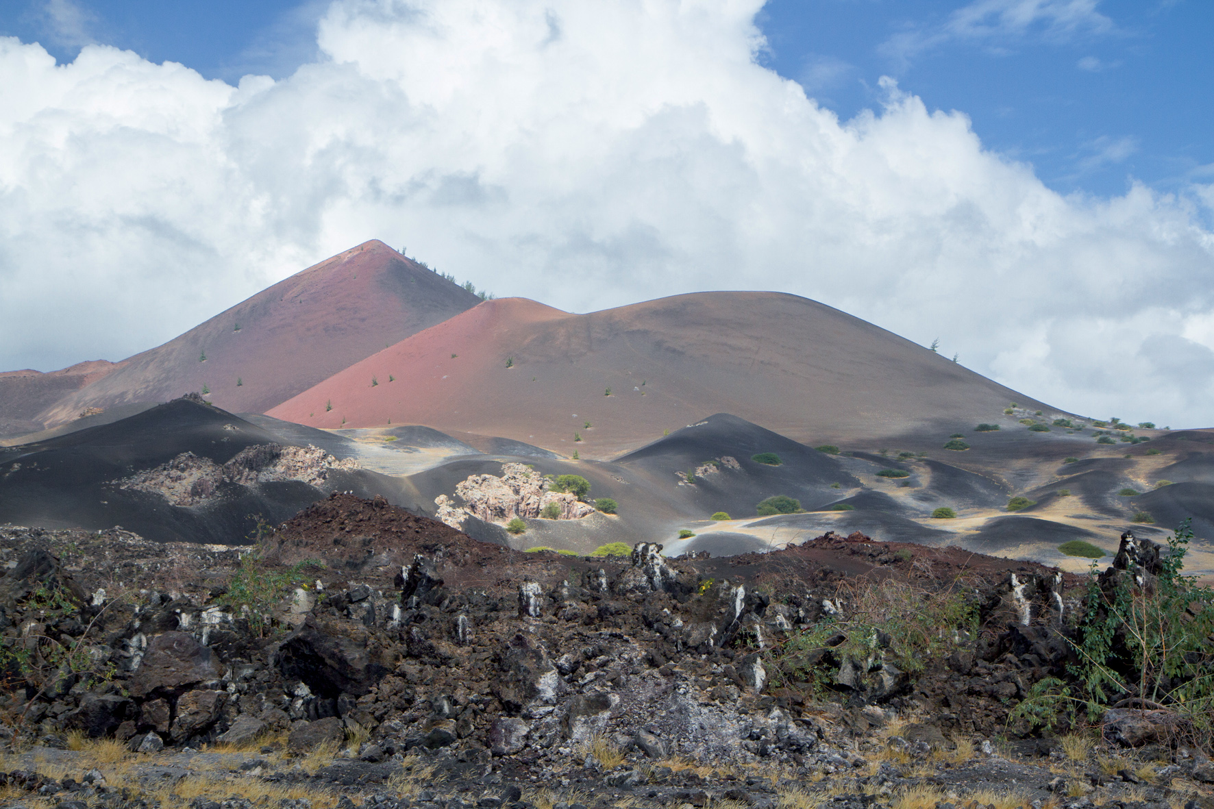
We reluctantly set sail from St Helena six weeks after first arriving. It was an easy 700 nm voyage to Ascension and we were soon marveling at the sight of multi-hued volcanic hills topped by Green Mountain; Darwin’s experiment. The once barren hill had been planted with tropical plants from around the world, altering the geography and climate of the island.
We dropped our anchor in Clarence Bay, off the tiny settlement of Georgetown. Our plan was to quickly explore Ascension, get a few provisions and sail on—but conditions conspired against us. A phenomenon known locally as ‘the rollers’ meant a large northerly swell (combined with the standard S E swell) made getting in and out of our dinghies at the pier soggy at best.
With an eye out to sea we timed our arrival at the dock and unloaded one person or bag per wave. As we hopped ashore, swells would wash over the pier steps soaking whoever wasn’t lucky enough to have leapt out of the way. Eventually though, we made it ashore and the dinghy was secured.
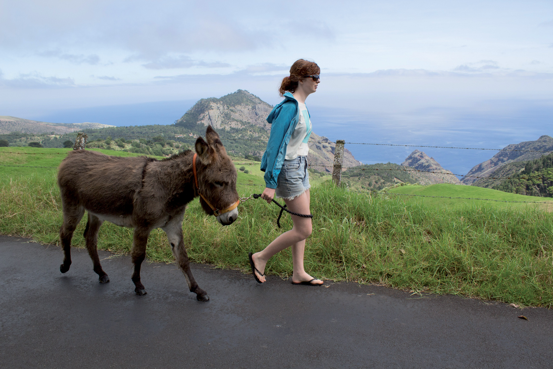
We set off on the island’s 40 km of roads by rental car, taking in the old NASA base, the airport, the endemic land crab, a few feral donkeys, the grocery stores and Green Mountain. Covered in heavy mist, Green Mountain was living up to its billing as a manmade cloud forest and rather than risking a rainy picnic we headed to English Bay for lunch.
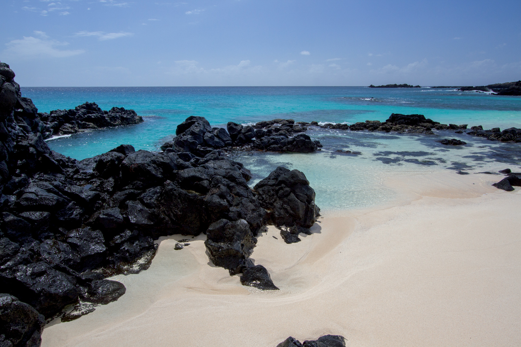
The striking white sand and black lava beach is a turtle nesting ground that’s popular with locals; a population of about 1200 spread between the Royal Air Force station, US Air Force, European Space Agency rocket tracking station, a super-secret intelligence facility and the BBC World Service Atlantic Relay Station.
While we were there one little hatchling popped out of the sand. A Frigate bird had just made a meal of one of his siblings so a group of beach goers provided an escort down to the water’s edge. Finally the little creature made it to the water’s edge and swam off to the cheers of his honorary aunties and uncles. A few minutes later he was in deep, clear blue water. Then the frigate bird swooped down, scooped him up and ate him.
Occasionally, nature is an asshole.
Suriname, at last…
The mellow passage from Ascension to Suriname was the second longest passage of our circumnavigation. We crossed the equator for the fourth and time and changed times zones for about the 30th time since leaving home. With steady winds from astern the mainsail stayed covered and we only tweaked our foresail configurations every day or two.
With little to do on the boat—we spent the passage watching dolphins and admiring the range of hitchhiking birds that dropped in. Then, not long after the water changed to the murky green of the Amazon it was time to turn left into the Suriname River and head up to the former Dutch Guyana—a welcoming place of South American, African, European and Asian cultures (and their cuisines), green jungles and delicious tropical fruits..
Useful info
Namibia:
Anchor or pick up a mooring in front of the town. Large floating dinghy dock is secure and typically has a guard. Check in with Customs, Immigration and Port Control.
St Helena:
Well maintained moorings are 2 or 3 GBP per night. Ferry service runs 2 GBP per round trip. Port fees are 40 GBP and visas are 17 GBP per person.
Ascension Island:
An Entry Permit Application is required at least 28 days before arrival, be aware you only have a window of up to 72 hours after your stated arrival and departure dates for the permit to be valid.
Suriname:
Moorage is available at the Harbour Resort in Domburg or at the Marina & Resort Waterland. Check-in procedures vary according to your nationality—so check with marina staff for guidance.
